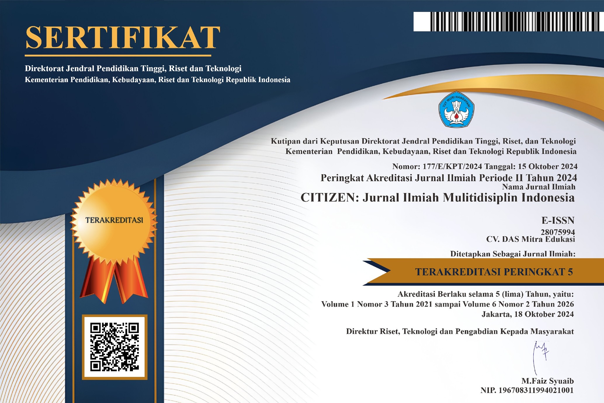
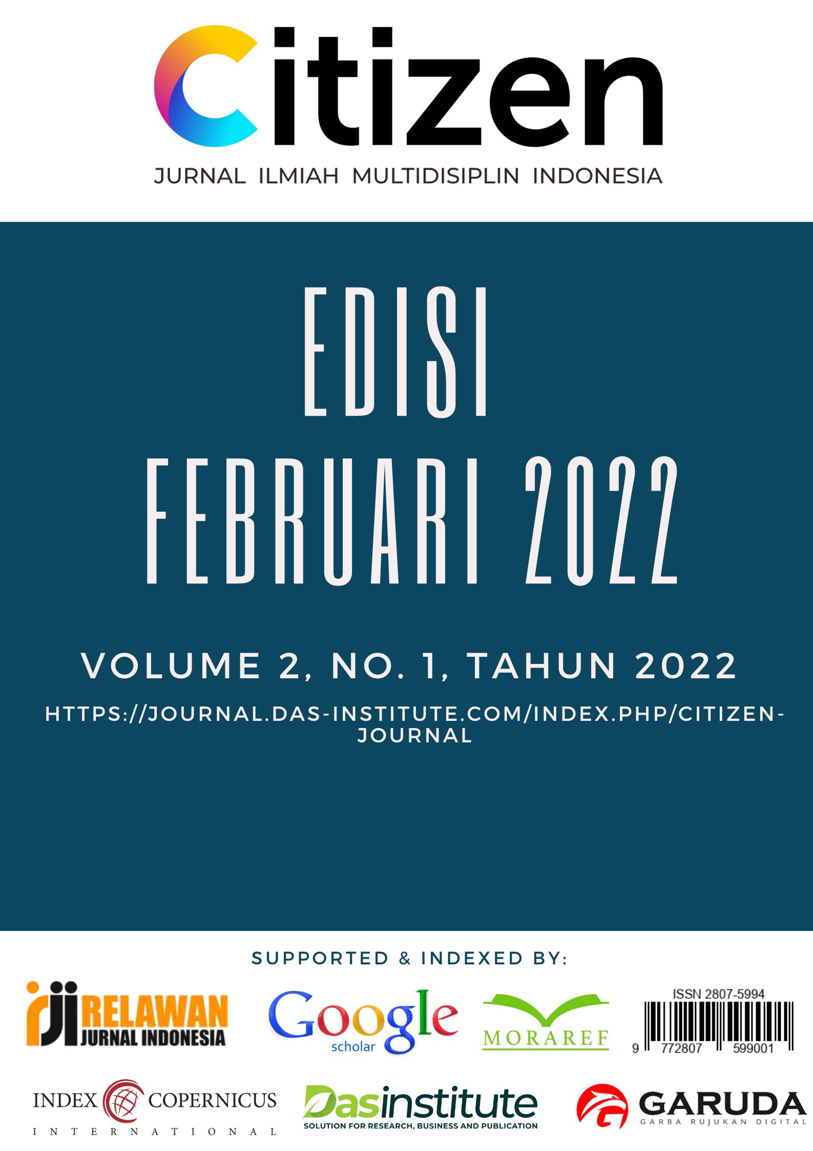
Penggunaan Geoint Pada Operasi Militer Dalam Penanggulangan KKB Papua Dengan Operabilitas Pada Sistem K4IPP
DOI:
https://doi.org/10.53866/jimi.v2i1.44Keywords:
Geoint, K4IPP, KKBAbstract
National defense is influenced by the development of a dynamic strategic environment. Complex and multidimensional threats including terrorism, radicalism, separatism, armed rebellion, territorial violations to cyber attacks are challenges that affect the implementation of national defense. In handling the case of the Papuan Armed Criminal Group (KKB), the TNI must use methods and technology in carrying out its operations. By applying Geospatial Intelligence (Geoint) to obtain information and combined with the Computer Communication Control Command for Observation and Reconnaissance Intelligence (C4ISR) it will facilitate the leadership in making strategic decisions on the operation
References
Barrowman, R. E. (2007). Geospatial Intelligence Intelligence The New Discipline. GEO: Connexion, 12(10), 20–21. https://doi.org/10.1201/9781420013863.ch1
Dold, J., & Groopman, J. (2017). The future of geospatial intelligence. Geo-Spatial Information Science, 20(2), 151–162. https://doi.org/10.1080/10095020.2017.1337318
Ferris, J. (2004). Netcentric warfare, C4ISR and information operations: Towards a revolution in military intelligence? Intelligence and National Security, 19(2), 199–225. https://doi.org/10.1080/0268452042000302967
Indonesia, P. (2015). Buku Putih Pertahanan.
Kussul, N., Shelestov, A., Basarab, R., Skakun, S., Kussul, O., & Lavreniuk, M. (2012). Geospatial intelligence and data fusion techniques for sustainable development problems. May.
Undang-Undang Republik Indonesia Nomor 3 Tahun 2002 Tentang Pertahanan Negara.
Downloads
Published
How to Cite
Issue
Section
License
Copyright (c) 2022 Arifin Hutomo, Rudy A G Gultom, Susilo Adi Purwantoro

This work is licensed under a Creative Commons Attribution-ShareAlike 4.0 International License.